Nowadays, drones are widely used in the field of transmission line inspection and become a good helper for line inspection. In 2019, the scale of China’s drone power inspection market is close to 3 billion yuan, with broad development prospects
my country’s land area is 9.6 million square kilometers, which is very vast, which brings the problems of difficult and high cost of surveying and mapping. In addition, the diverse topography, complex environment and changeable climate have also brought many restrictions and difficulties to traditional surveying and mapping, hindering the normal and effective development of surveying and mapping work. The landing of drones brings good news to land surveying and mapping.
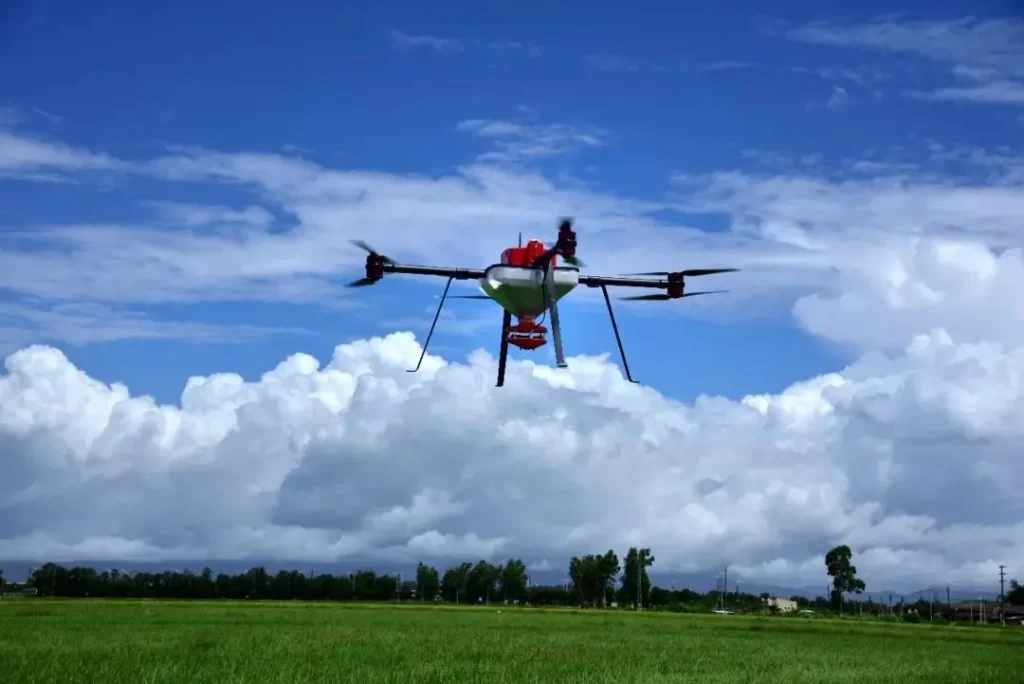
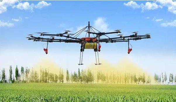
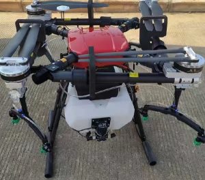
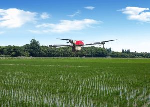
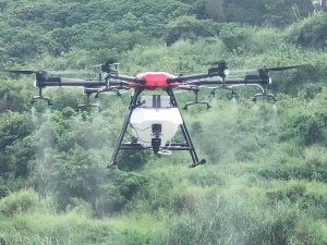
Agriculture and animal husbandry are hard industries with low income and hard work. Drones can traverse complex muddy roads, look for signs of disease from the air, inspect crops, and even sow and apply fertilizer. Using drones can enable farmers to better manage their land, save costs and improve overall effic


Please sign in to comment
register