UAV, the “cool” cutting-edge technology, is working with agriculture, and the number of farmers using UAV is steadily increasing. UAVs are useful in soil analysis, targeted application of fertilizer agriculture, storm tracking, safety monitoring, pollution control and air monitoring. In the future, the application potential of UAV in agriculture is very great.
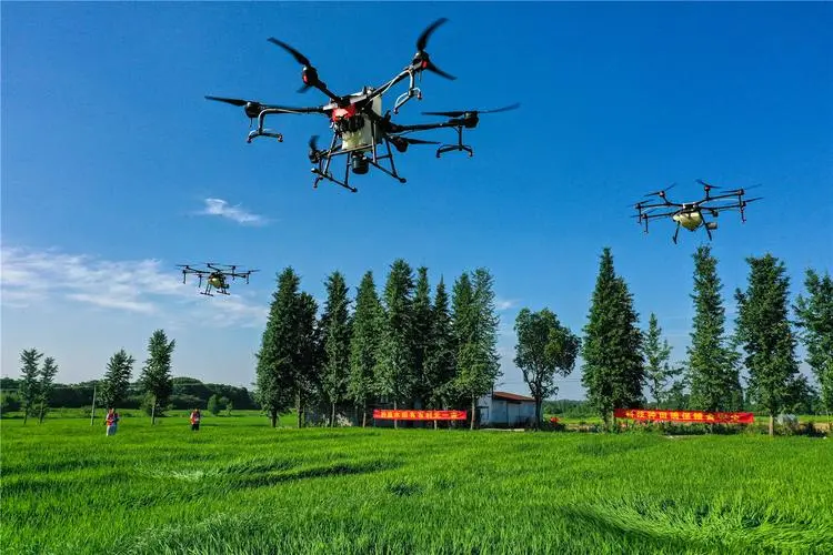

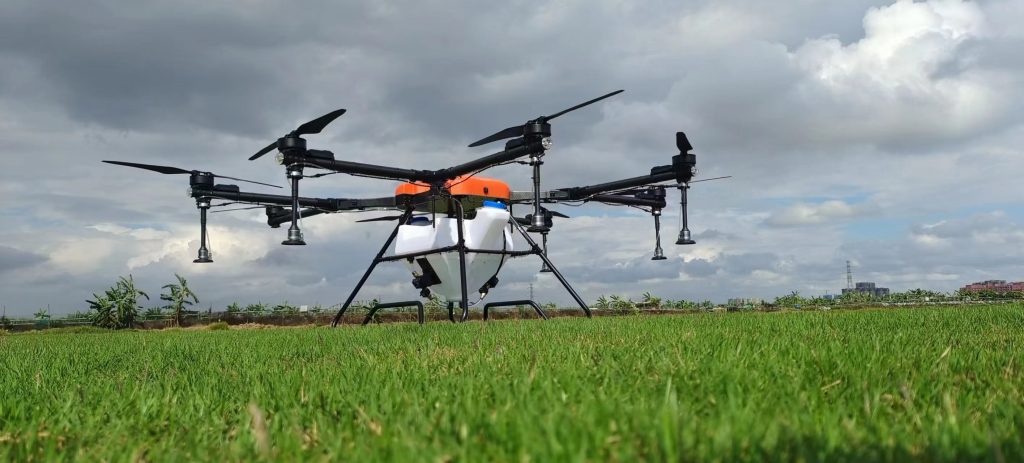
“The future of UAVs lies in agriculture”. Some people predicted so. Indeed, when people try to use UAVs for aerial photography, logistics and entertainment in cities, they will be restricted by airspace control, public security and other aspects. In the vast field, UAV has been widely used.
In fact, the penetration rate of agricultural UAVs in Britain has reached 18% and is changing the way farmers grow crops and raise livestock. In China, with the rapid improvement of UAV technology, agricultural UAVs are also being used to collect real-time land information such as crop health, water application, soil analysis, etc., to help farmers better manage crops and achieve “precision agriculture”.
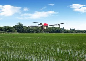
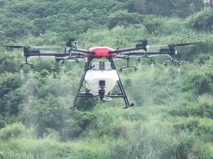
At present, one of the most widely used agricultural UAVs is pesticide spraying. Taking cotton fields as an example, it is necessary to spray defoliant to achieve mechanical cotton harvesting, and the cost of using manual methods is high. Tractors driving into cotton fields will crush cotton, resulting in reduced production. The use of UAV spraying can not only save manpower and reduce costs, but also achieve real-time, uniform and accurate spraying to minimize the dose of groundwater infiltration. At present, some domestic UAV enterprises have carried out operations in farmland in Xinjiang and other places, and are welcomed by farmers.
UAV’s deeper involvement in agriculture will also affect the whole agricultural industry chain and promote the agricultural technology revolution. It is understood that behind the agricultural plant protection UAV is at least a trillion-level agricultural machinery and pesticide market. The emergence of UAV may promote the improvement of service standards in relevant industries. Moreover, the application of “UAV+sensor+big data” in the agricultural field can outline a multi-level and comprehensive “agricultural map”: soil information, crop information, climate information, and even farmers’ information will be summarized to improve agricultural production efficiency.

Please sign in to comment
register