
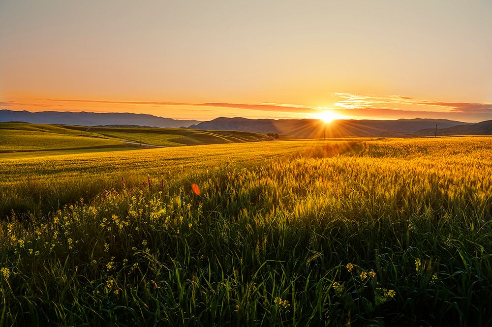
The Tian family has been idle for a few days, and farming has started since then. Currently, most areas in Zhejiang have entered the spring farming season. Located in Jindong District, Jinhua City, there are ten thousand acres of fertile land, vast and crisscrossing. Nearby farmers have put in spring plowing to prepare for cultivation, and the fields present a busy scene. In the spring, a “spring plowing map” filled with hope and harvest is drawn.
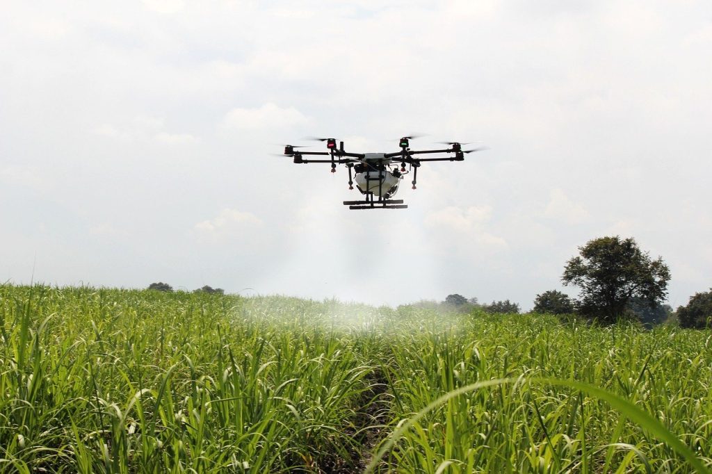
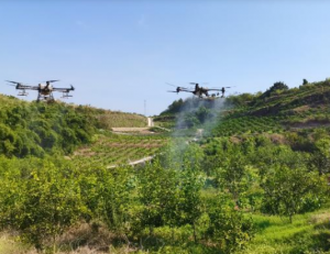
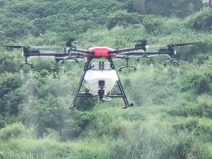
On the vast field, a white agricultural drone with extended arms and a length of about 1.5 meters provides farmers with a more intuitive understanding of agricultural technology. Drones sometimes shuttle low above farmland and sometimes hover in the air.
It is reported that this drone is a “new intelligence” added by the Agriculture and Rural Bureau of Jindong District, Jinhua City for spring plowing. Through a 5G drone image map engine and high-precision digital imaging equipment, combined with artificial intelligence data automation processing and human evaluation, staff can quickly monitor the use of farmland, meet the needs of high-precision farmland surveying and mapping, and save time for manual on-site surveying and calculation, It makes up for the defect that some fields are difficult to observe, so as to achieve efficient mapping and accurate analysis, and provide data basis and platform support for the government’s macro monitoring of agricultural resources and accurate decision analysis.
By utilizing 5G communication technology, unmanned aerial vehicles can automatically generate the optimal flight plan and route for post processing based on high-precision realistic 3D terrain according to the terrain fluctuations and image requirements of the task area. They can automatically segment and manage the super large task area to ensure the edge connection needs of post processing. At the same time, it also has breakpoint continuation and one click return functions, which can visually monitor flight status and parameters in real-time in real 3D scenes, modify flight status, and provide intelligent warning to ensure the safe execution of flight tasks.
Doing a good job in preparing for spring plowing and managing spring fields is a top priority for grain production throughout the year. Through the map engine of China Mobile’s 5G drone image and the data automation processing of artificial intelligence, a vector map with an accuracy of up to 10cm can be completed within a week for 40000 farmers and 83500 acres of farmland in the entire area, generating a map of grain planting in Jindong District. This effectively solves the problems of manual measurement accuracy and time consumption, and achieves efficient and precise grain subsidies The quasi issuance has also become a typical case of digital reform promoting precise and dynamic management of farmland Introduction to the relevant person in charge of Jinhua Mobile. It is reported that in the future, Jinhua Mobile will also collaborate with the local community to promote the use of the 5G drone in scenarios such as crop identification and grain supplement calculation, effectively solving problems such as insufficient manpower and difficult management during busy farming hours.
Please sign in to comment
register