
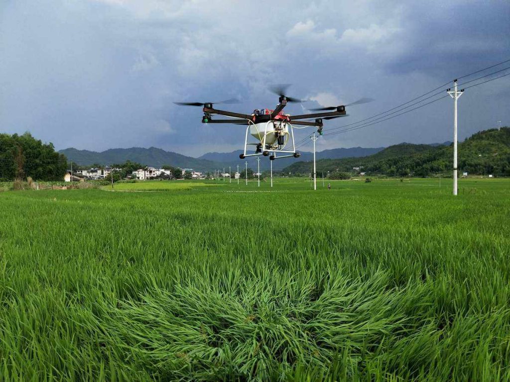
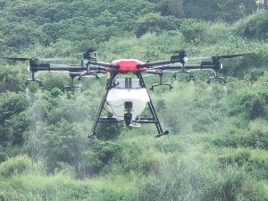
Introduction: Modern agriculture is witnessing a technological revolution, and one of the key contributors to this transformation is the use of drones for aerial imaging. In this article, we explore how drones equipped with high-resolution cameras are revolutionizing crop management and boosting crop yields.
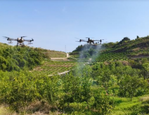
Precision Crop Monitoring: Aerial imaging drones have the capability to capture high-resolution images of entire fields. These images can be used to monitor crop health and identify issues such as nutrient deficiencies, disease outbreaks, or irrigation problems. The real-time data enables farmers to take timely corrective actions, preventing potential yield losses.
Early Detection of Crop Stress: Aerial imaging allows for early detection of crop stress factors, such as water stress, which is essential in arid regions. By identifying areas of the field where crops are under stress, farmers can optimize irrigation practices to ensure even growth and increased yield.
Data-Driven Decision Making: The images captured by drones can be transformed into detailed vegetation index maps. These maps provide a comprehensive view of crop health and growth. Farmers can use this data for informed decision-making, including adjusting fertilization and pesticide applications, optimizing planting density, and planning harvest schedules.
Reduced Manual Labor: Traditionally, assessing the health of crops required manual labor and extensive fieldwork. Aerial imaging with drones reduces the need for such labor-intensive tasks. Drones can cover large areas quickly and efficiently, saving both time and resources.
Integration with GPS and GIS: Drones equipped with GPS technology and Geographical Information Systems (GIS) software enable precise georeferencing of crop data. This integration provides accurate location-based information for farmers to target specific areas of their fields.
Challenges and Future Prospects: While aerial imaging drones have revolutionized crop monitoring, challenges such as data processing, interpretation, and integration with other farm management systems remain. Future developments in machine learning and AI are likely to address these challenges and further enhance the capabilities of agricultural drones.
Conclusion: The use of aerial imaging drones in agriculture is not just a technological marvel but a game-changer for crop management. The data-driven insights they provide empower farmers to make informed decisions that ultimately lead to increased crop yields. As technology continues to evolve, we can expect even more innovative uses of drones in agriculture. Stay tuned for our final article on how drones are transforming agricultural logistics.

Please sign in to comment
register