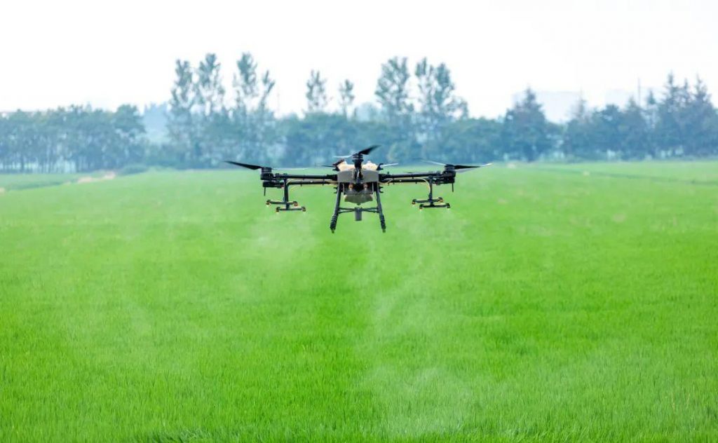
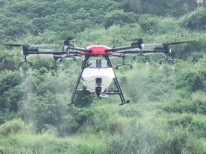
The Sanming investigation team of the National Bureau of Statistics used unmanned aerial vehicles (UAVs) to conduct remote sensing survey of crops. The UAVs gave full play to the characteristics of fast speed and traceable images, and verified each other with manual field survey data to improve the quality of agricultural survey data. The picture shows that staff of Sanming Team recently used drones to carry out remote sensing measurement of middle and late rice area
THE END


Please sign in to comment
register