Not so long ago, most farmers used technology related to soil maps and satellite imagery in agricultural applications. These techniques provide growers with information about the state of their fields, and many are still using them, although it can take days or even weeks to collect and process the data needed to take action. Drone technology now offers a more effective way to address these issues by providing instantly accessible, actionable data that enables farmers to make relevant decisions immediately.
Over the past few years, we have seen many companies and individuals begin to adopt this technology in the agricultural sector. This development, especially following the introduction of Regulations for the Use of Small Commercial Drones (Part 107), simplifies many of the legal issues represented by the commercial use of drones. However, effective use of the technology will not be simply a matter of resolving the necessary legal hurdles.
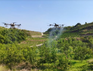
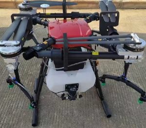
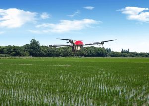
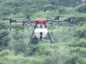
From mapping farms of all sizes to finding weeds and planting trees, there are countless examples of the success of drones in agriculture and forestry. Farmers use drones to find diseases in various crops and have even experimented with insect-eating drones. This proves that drone technology can be used to help different growers save time, money and resources.

Please sign in to comment
register